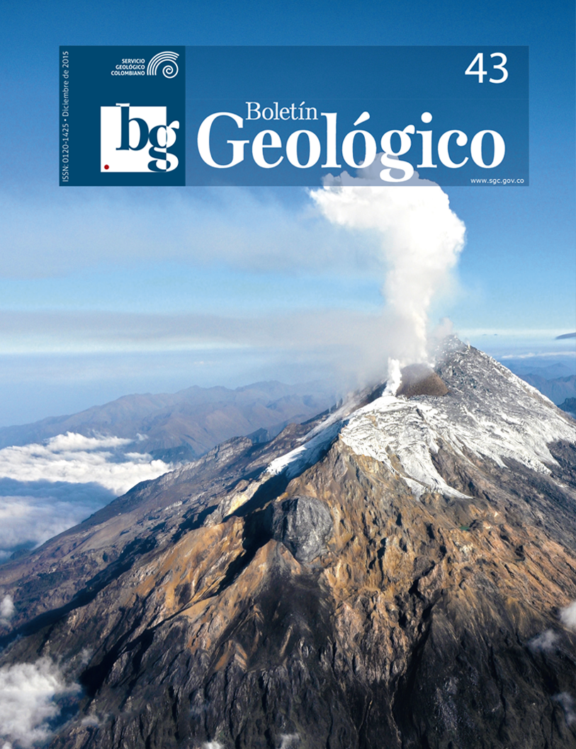
Setting the method Lahar-z in the field of Volcano Nevado del Huila, based on debris flows in 1994 and 2007
DOI:
https://doi.org/10.32685/0120-1425/boletingeo.43.2015.30Keywords:
Debris flows, Lahar-Z method, setting, modeling, crosssectional area of floodingDownloads
How to Cite
Issue
Section
Published
Abstract
In the catchment area of the volcano Nevado del Huila, more specifically in the Paez River basin, debris flows have occurred in recent periods, as occurred in 1994 (source seismotectonic) and 2007 (of volcanic origin). Based on the evidence left by debris flows occurred in 1994 and 2007, were collected geologic and topographic data directly in the field to model the behavior of flows along the Paez River basin, following the methodology Lahar -Z proposed by Iverson and others (1998). The results show that the obtained values overestimate the cross-sectional areas of flooding and underestimate the volumes involved when compared with the respective actual values obtained from field surveys. We conclude that the formula obtained has a better correlation between theoretical data and measurements in the field.
References
Calderón, Y., Ávila, G. & Ojeda, J. (1997). Estudio de amenazas y zonificación geológica de la cuenca del río Páez. 2 nd Pan-am. Symp. Landslides, 2nd COBRAE, Río de Janeiro.
Cardona, C., Agudelo, A., Calvache, M., Pulgarín, B., Santacoloma, C., Monsalve, M., Bolaños, R., Manzo, O., Narváez, A., Trujillo, N. & Sarmiento, C. (2007a). Proceso eruptivo del volcán Nevado del Huila. Popayán: Ingeominas.
Cardona, C., Pugarín, B., Agudelo, A., Santacoloma, C., Calvache, M., Schilling, S. P., Lockhart, A. & Jeffrey, M. (2007b). 1994 and 2007 Debris Flows on the Páez River Valley (Colombia): Calibrating the plot of the Laharz Method. Popayán: Ingeominas.
Ingeominas. (1994). El sismo de Páez, Cauca, 6 de junio de 1994. Evaluación de emergencia, Sistema Nacional para la Prevención y Atención de Desastres de Colombia (SNPAD), Bogotá: Ingeominas.
Ingeominas (2007a). Informe semestral de actividad de los volcanes del Cauca, I semestre de 2007. Popayán: Ingeominas.
Ingeominas (2007b). Notes on Huila April 18th lahar. Popayán: Ingeominas.
Ingeominas (2008). http://intranet.ingeominas.gov.co/popayan/Proceso_eruptivo_volc%C3%A1n_Nevado_del_Huila, Last Access: 4.5.2008.
Iverson, R. M., Schilling, S. P. & Vallance, J. W. (1998). Objective delineation of lahar-inundation hazard zones. Geological Society of America Bulletin 110(8), 972-984.
Pulgarín, B., Cardona, C., Calvache, M., Lockhart, A. & White, R. (2007) Huila Lahars Caused by Rapid, Voluminous Water Expulsion. Popayán: Ingeominas.
Pulgarín, B. (1996). Evaluación de amenaza y vigilancia volcánica del complejo volcánico Nevado del Huila. Popayán: Ingeominas.
Schilling, S. P (1998). Laharz; GIS programs for automated mapping of lahar-inundation hazard zones. Open-File Report. USGS series. Report number 98- 638.


